
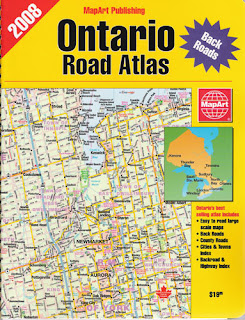
 The MapArt Canada Back Road Atlas is possibly our crowning achievement, the most comprehensive atlas of Canada we've ever created. It also makes a great gift this holiday season:
From Major Highways, to little known, off the beaten path roads, this 700 page Atlas has it all.
Full Coverage of Canada from the urban and rural south to the vast nort and from sea to shining sea
Accurate and up-to-date maps that can help you find your way around cottage country , plan a vacation or discover the fastest route to your next destination.
Large Scale and Large Print Maps that offer precise detail without clutter.
Vacation Planning and Reference points of Interest including, Tourist Locations, Campgrounds, Provincial Parks, Conservation areas, Picnic Areas, Ski Areas, Tourist Information, Airport Locations, Ferry Routes, Border Crossings, Distance Charts and many more.Comprehensive Index of cities and towns including a separate index for counrty roads, rural roads, consession roads, grid roads, secondary highways and major highways.You can find the Canada Back Roads Atlas at major retailers, Amazon or at the MapArt Publishing On Line Store.


